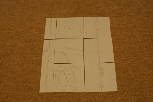
Here's the plan for the board, the large squares are 500mm x 500mm and the 3 water strips on the left hand side are 500mm x 210mm. Basically the terrain from top to bottom is as follows, on the west the Isthmus ends with Camilla Creek, at the top left is Burntside Hill itself, heading south we cross a stream running into Camilla Creek we then hit more high ground at Coronation Ridge. On the east side of the board we have relatively flat terrain with the track linking Low Pass in the north to the settlements of Darwin and Goose Green in the south. Dougie
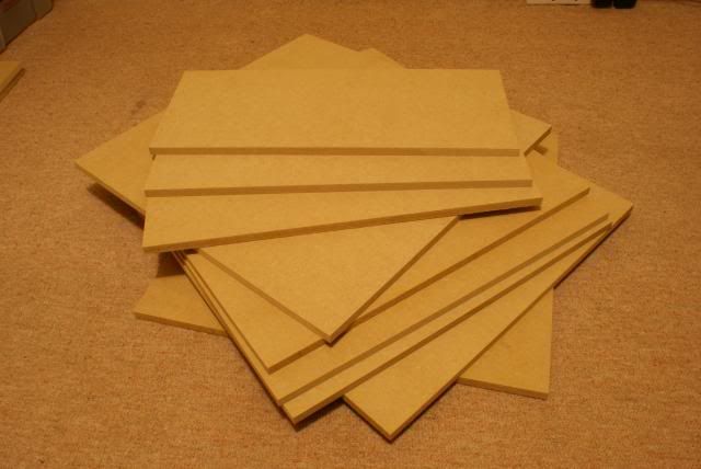
The MDF is all cut, B&Q did a really good job, quite impressed!

Can't wait to see how this terrain takes shape Dougie. All set for the approach and the break-in battle. Mouth watering stuff mate. Aye, Rusty
ReplyDeleteIt'll be very quick from now on, blue craftfoam tomorrow for the Falklands turf.
DeleteDougie